ChoptaTrek to Tungnath Chandrashila and Deoriya talTotal No of days - 4Dated - May 2017
Home - Travelogues - Trek to Tungnath Chandrashila and Deoriya tal
Behind the wheel & Contributor
 Vinod Kumar...know more about me
Road map Delhi Chopta
Chopta
(Trek to Tungnath, Chandrashila & Deoria Taal)
Started at 5 am, it is a long and tiring drive, as after Rishikesh around 200kms is windy, reached Chopta by 5.30 pm. The place was too cool, around 6-7 degrees and immediately we had to search for our pullovers.
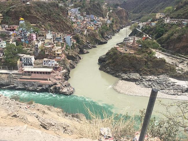
Dev prayag
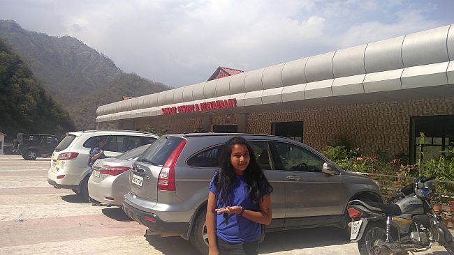
Break at Hotel Samrat
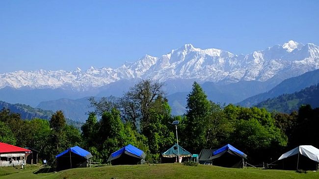
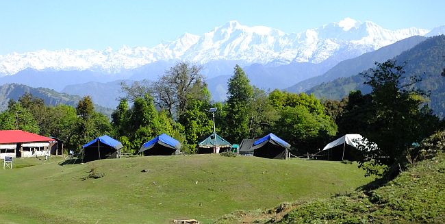
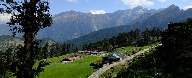
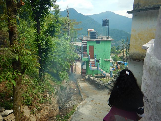
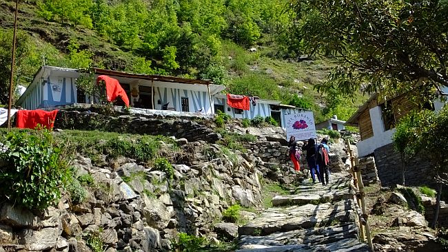
Magpie camps is located 7kms before Chopta in the Kedarnath wildlife sanctuary. The camps are located in the lush green meadows, just 300m from the parking area, with majestic views of Chaukambaha, Kedarnath among other snow clad Himalaya mountains. There are around 10 camps, adequate luxury, with good comforable neat beds and two layer blankets. A hamam provides hot water which one can carry in buckets. Tea and food were good, and above all the boys were very friendly and quick in service. The season time is May & June, at present we were just three families. Alpine, Neelkanth, Paradise etc are some other camps located nearby. Only Idea and Vodafone works in the camp. That too intermittently. Almost nil GPRS connection.
Magpie camps
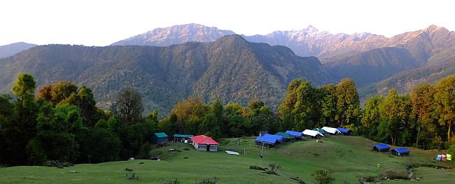
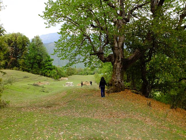
Evenings are very cold and windy, still one can walk around to look for birds or just enjoy a walk inbetween the carpet of leaves.
Walk around the camps
Day 1 - Trek to Tunganath & Chandrashila
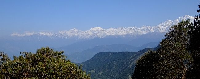
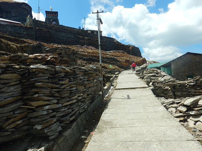
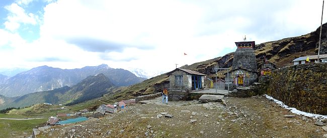
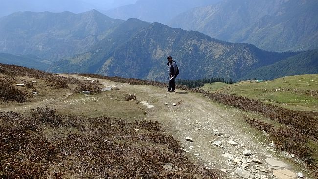
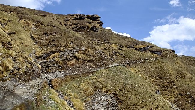
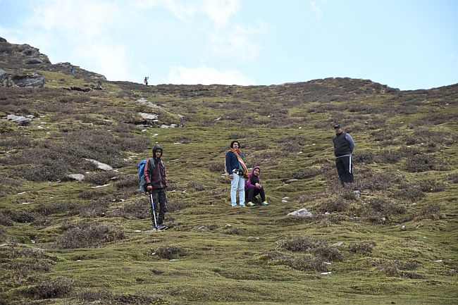
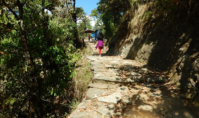
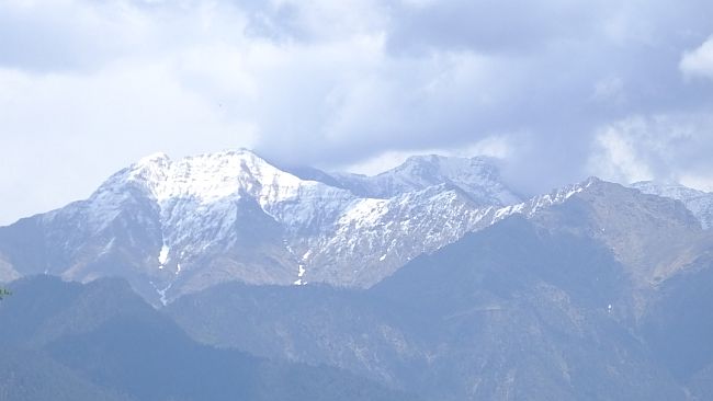
The trek starts at a height of 8,790 ft at Chopta and passes by the 1,000-year-old Tungnath Temple and ends at an altitude of 13,100 ft at the Chandrashila peak.Along with Sonu, our guide we drive around 7kms to reach Chopta village. Park the car and start the climb. There is a 4.5km meandering, well laid path through the green pasture walk to Tungnath. The path is steep, has beautiful views, dhabs with snacks enroute. The sun glistens intermitently behind the clouds, to brighten up the entire white snow caps. The climb is steep so breathlessness made one take regular stops. The cool icy winds didn't allow you to part with the pullover, but the strong sun burnt our skin and made us sweat in.. We missed the beauty of the pink, white and mauve Rhododendrons enroute as the late snow fall delayed their flowering. But views of the Oaks and Rhododenderons stretch their wide branches out were awesome. Slowly we climbed for 2.5hrs to reach Tunganath temple.
Remember - to have lots of water keep taking small sips, wear caps and sun screen.Better to carry a raincoat, as rains are unpredictable. Carry hiking pole if planning Chandrashila.
The start
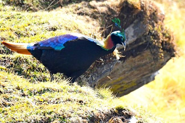
Himalayan monal
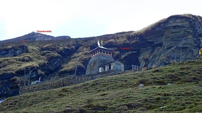
Tungnath temple
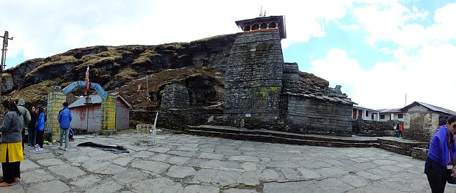
About Tunganath temple
Tunganath temple said to be built by the Pandavas, The legend goes that Vyas Rishi suggested the Pandavas that they should seek pardon from Lord Shiva for slaying their relatives, the Kauravas. Shiva and his consort, Parvati, live in the Himalaya. As the Pandavas went in search of the Lord, Shiva made himself unavailable by taking the form of a bull and went into hiding. He was convinced that the Pandavas were indeed guilty. The Pandavas were unable to trace the Lord, though Shiva (in the form of a bull's body parts) did reappear at five different locations known as the Panch Kedar. Here, the Pandavas built Shiva temples, seeking his pardon and blessings. Each one is identified with a part of his body. The one in Tungnath is identified as the place where his bahu (hands) were located.
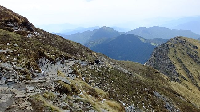
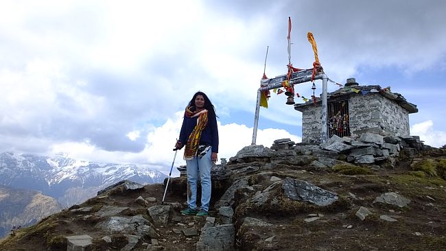
Further to Chandrashila
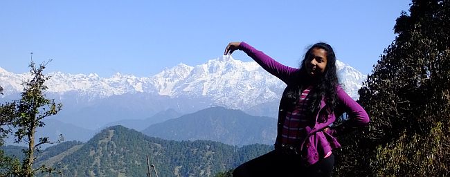
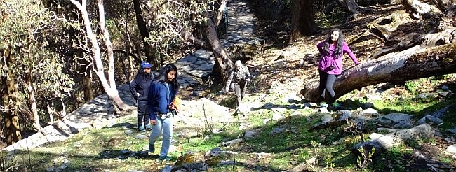
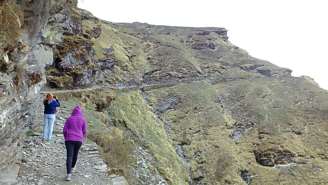
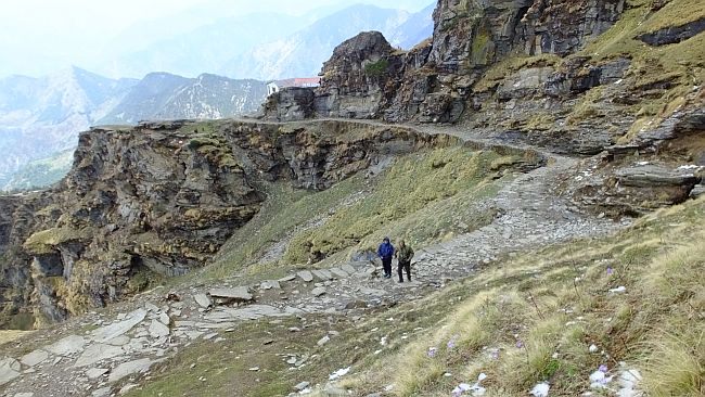
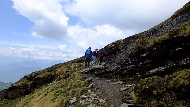
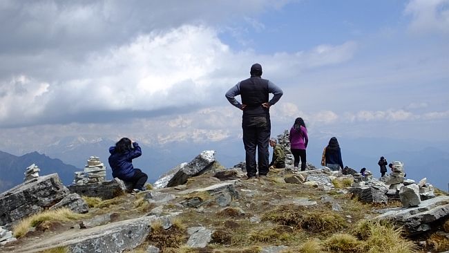
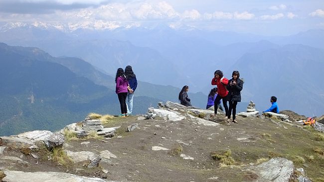
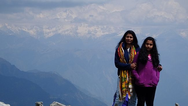
It was the last leg of one kilometre up to the Chandrashila trek that really tested our trekking prowess. With no particular trail to follow, we just trudged up the hill with the help of prior tracks created. Carefully following each step to place our foot, as the climb was slippery, due to rain last night, making full use of the hiking pole. The steep ascent was more difficult to climb than the less inclined trail of four kilometres earlier. It took us a whole hour and more to finally reach the top, at 13,100 feet. A 360 degree, breathtaking view unfolded before us. Himalayan monarchs like Bandarpoonch, Kedar, Trishul and Chaukhamba peaks were bathed in white. The Nanda devi was elusive but finally emerged from the clouds to give us its majestic view.
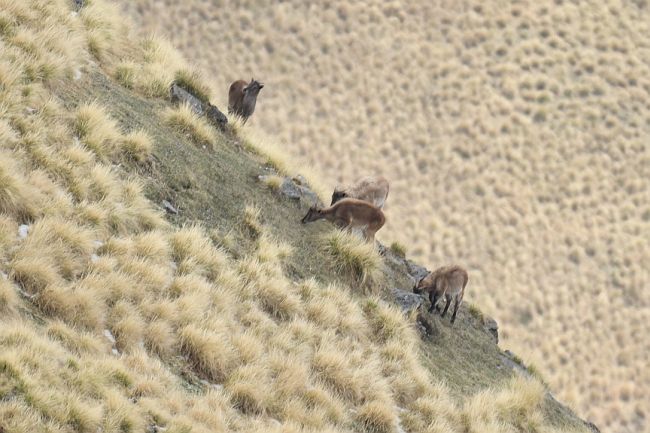
deers grazing
The temple of Ganga at Chandrashila
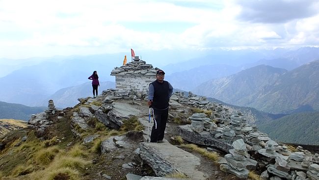
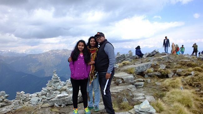
Nandadevi at the backdrop
Note : Tungnath is easy, but Chandrashila hike is difficult. The steady climb, no path defined, slippery wet path was difficult as occasionaly we did slip and fall. The descent is more difficult as the stones are slippery. Dont forget to carry your hiking pole, use sunscreens, caps, keep yourself hydrated by drinking water.
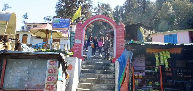
Day 2 Deoriya tal
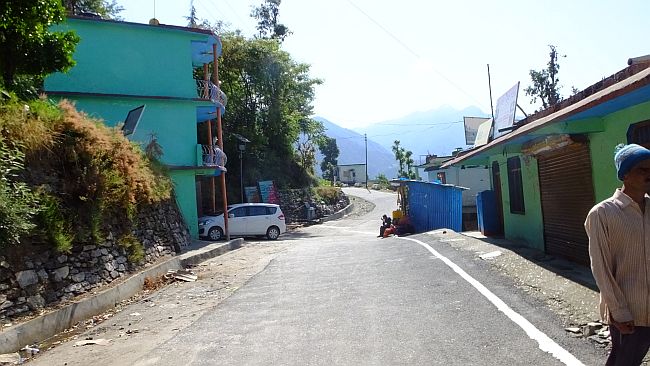
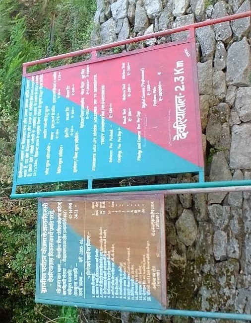
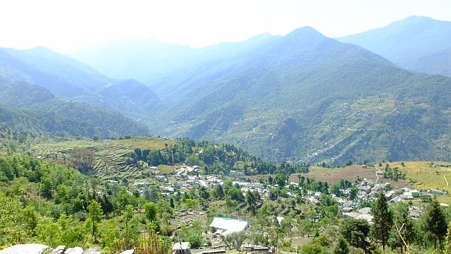
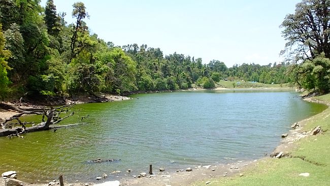
A relatively easier one, its located around 14 kms drive from Magpie, and starts from Sari village. This is a smaller trek (2.5kms) and gradient is not much tough than Tungnath. Its steep and stone laid. We took about 1.5 hrs one way. There is entry fees of Rs 150 per person at the taal. For view you need to trek early morning otherwise the peaks are only partially visible. No loo facilities. Temporary camps can be set and one can stay overnight. Dhabas provide for food and water.Sari village
We earlier planned to stay at Deoriya taal, but since continously it had been raining in the evenings, gave up the plan. After lunch in the dhaba we returned back.
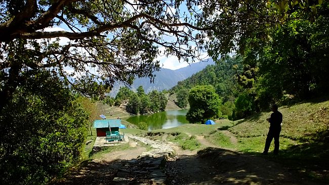
tents at Deoriya taal
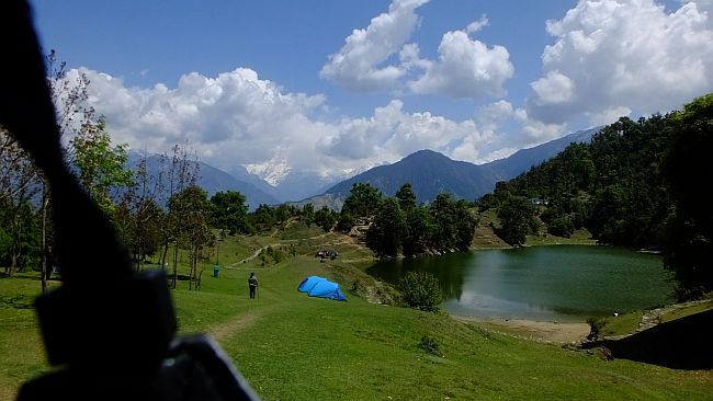
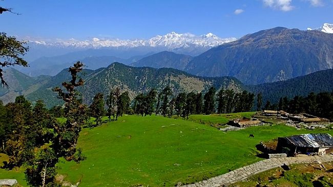
Deoriya taal is a beautiful lake at an altitude of 2438 m and has captivating surroundings with forests all around. The Chaukhamba peak feels like it is an arm's length away and the reflection of the mighty peak in the crystal clear waters of the lake creates a beautiful effect. Since it was windy we could not have this view. One can also see the clear star studed sky on a clear night. We reached the taal by 11:15, by then the clouds had already blocked the view of the Himalayas, so for a good view one should reach here early morning.
About Deoriya taal
The story associated with this scenic place is that when the Pandavas were in exile and were hiding from the Kaurava king, Duryodhan, they stopped nearby for rest. When their mother Kunti felt thirsty, one by one four of her sons went to fetch water from this lake but died, as they could not answer the question put forth to them by the Yaksha Devta who resided here. When Yudishtra's turn came, he answered all questions correctly and with the result the dead brothers also came back to life.
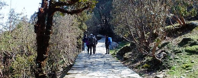
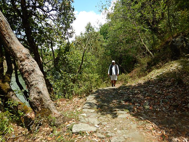
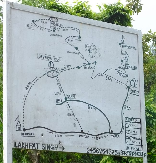
The trek route
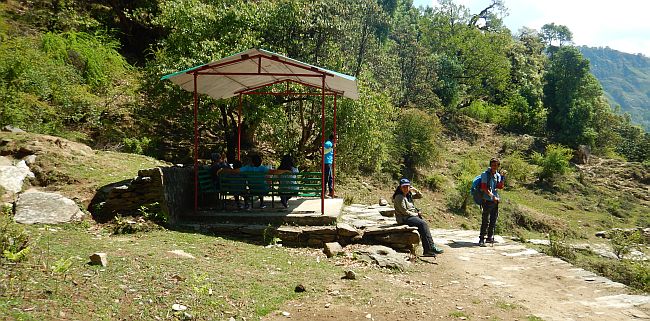
A newly opened cafe - Cafe Buransh
Resting place


View enroute
walk to watch tower
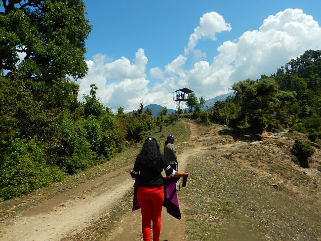
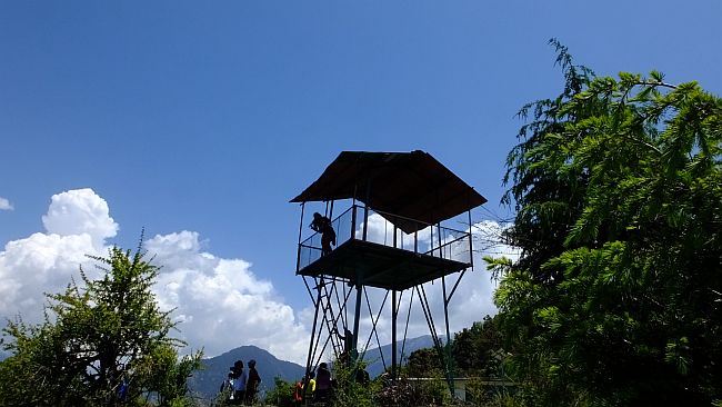
Watch tower
A short walk around the lake
The next day return back to Delhi.
Widget is loading comments...